Digital Maps
MAPC2MAPC is a program that runs on Windows PCs. One of its functions is to convert maps from one format to another. The program usually requires registration but it will convert these DWG digital maps without registration to many formats that can be used with Apps on Android and iPhone/iPad devices. Details are here - and here is a download link.
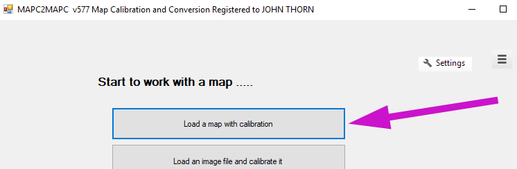
Download the version - 32bit or 64bit - to suit your version of Windows. Unzip the download file and run the setup exe inside it. Start the program,
Choose Load a Map with Calibration
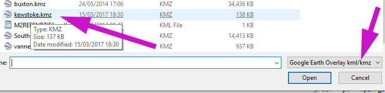
and open the KMZ file you want to convert.
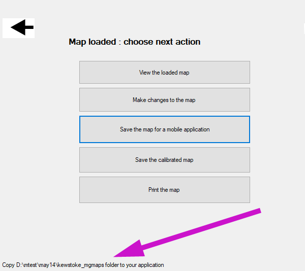
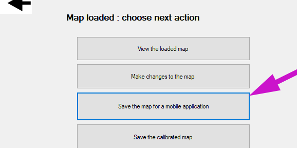
When the file is loaded, choose Save the map for a Mobile Application
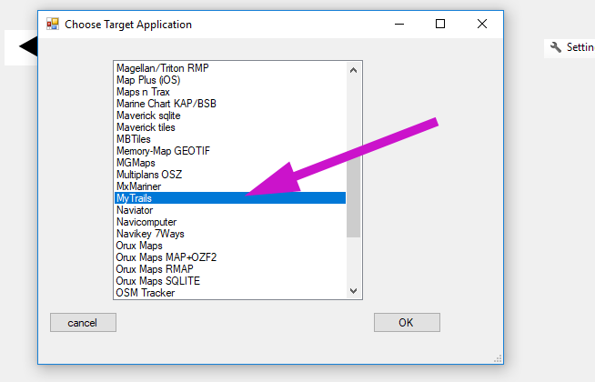
Choose the application (MyTrails is just an example) and click OK
When the progress bar clears the program tells you the file or folder to copy to your device.