8. Select View Reports and the area is shown in Square Metres.
9. Multiply by 1.196 to get square yards; divide by 4047 for Acres
| How to measure land with free software tools |
| To start : Install Google Earth and GPSU Only the free
versions of these are needed. |
| 1. Use Google Earth to find the area of land to be
measured.
Zoom in so that the land almost fills the screen but does not extend
beyound it. |
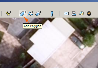
| 2. Click the Polygon Icon |
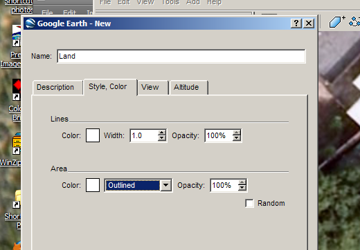
| 3. Give the Polygon a name (Land' in this example) and
change the style to 'outlined' |
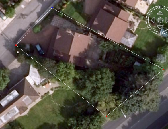
| 4. Using the cursor, click around the edges of the land
and then click OK in the polygon window. |
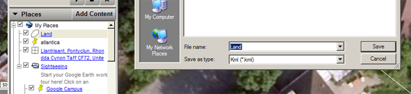
| 5. In the Places pane, right click on the name of the
polygon, select Save As and save as type KML |
| 6. Open GPSU, select Options, Data Set and make sure
Horizontal Units are Metres/Seconds |
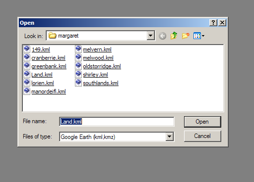
| 7. Select File, Open, choose type Google Earth KML,find
the file you saved, open it and click 'Yes' to import as a Track |
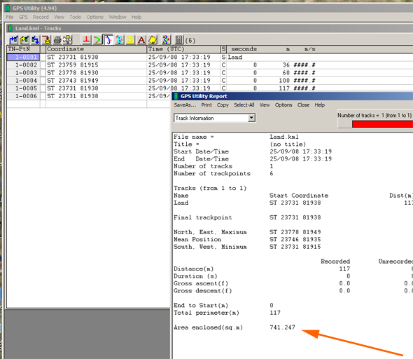
8. Select View Reports and the area is shown in Square Metres. |
9. Multiply by 1.196 to get square yards; divide by 4047 for Acres |