Open Street Map or Official Maps??
It is important to understand the differences between Open Street Map and Offcial maps created by governments.
Official maps - usually related to the military - are ceated by surveying an area to a defined standard.. The whole state is progressivly surveyed over time (sometimes measured in decades) meaning maps can sometimes be significantly out of date. Many official maps are copyrighted but there is a trend to release data under an 'Open' licence.
Open Street Map (OSM) is a cooperative venture with elements of the map edited into a database by volunteer contributors. Popular areas are comprehensively mapped but unpopulr areas less so. Even so, it depends on the energy of the contributor : one farm may have its fences well mapped but the farm next door may not. Roads and paths are easy to record with GPS but woodlands and watercourses are much more difficult without special equipment. OSM, however, is updated in almost real time so changes can be reflected quickly. It also contains many data items such as bars and parking which official maps usually ignore. OSM maps and their underlyig data are covered by a 'creative commons' licence so they can be freely copied (with attribution).
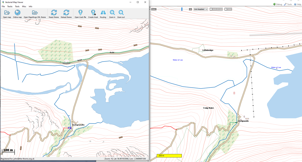
Here are some examples from Britain using an area north of Dundee in Scotland. Mapping based on Ordnance Survey Opendata is on the left, OSM on the rightt:-
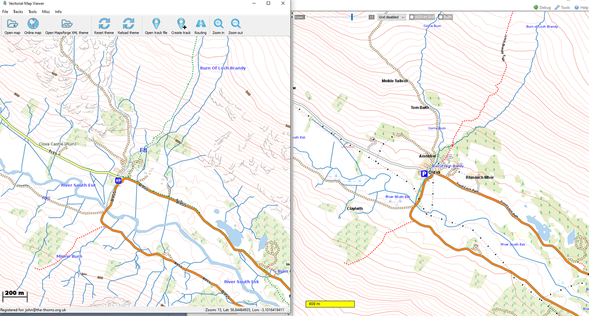
Near civillisation, the main difference is the streams
Note the woodlands and streams on the OS derived map that are missing from the OSM map.
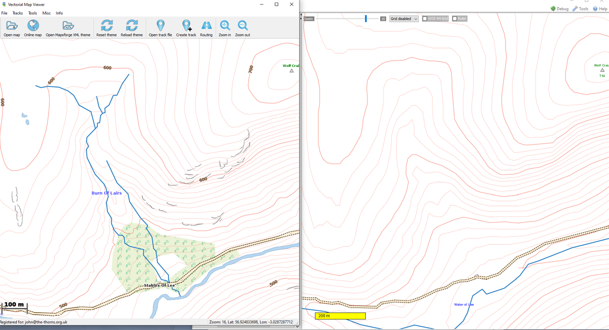
In a remote location : no woods, no ponds, missing streams.