Highland
Orkney and Shetland
Argyll & Bute
Clackmannanshire
Loch Lomond and Trossachs NP
Borders
North Lanarkshire (rights of way)
Aberdeen city
Aberdeenshire
North & South Ayrshire
Perth & Kinross
Angus
Dundee
Dumfries & Galloway
East & West Lothian
Outer Hebrides
East Dumbartonshire
Edinburgh
Renfrewshire
East Renfrewshire
Inverclyde
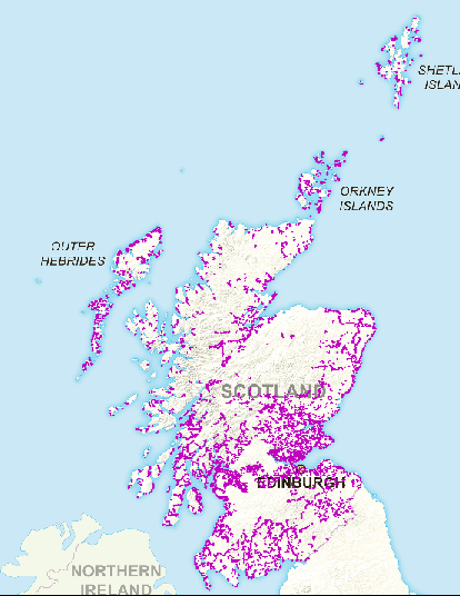
Contains public sector information from Councils and Ordnance Survey licensed under the Open Government Licence v3.0.
http://www.nationalarchives.gov.uk/doc/open-government-licence/version/3/
Core Path data was acquired starting from winter 2019/20 and may be subject to revision or alteration.
Any queries to john@the-thorns.org.uk
If any council supplies data under an OGL then it will be added to the published map as soon as practicable.