Maps
of Spain for Garmin units
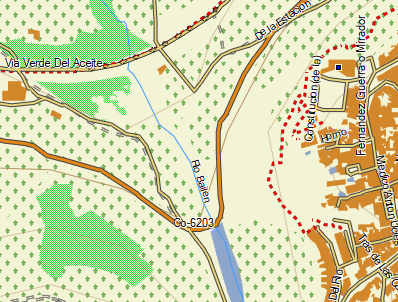
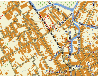
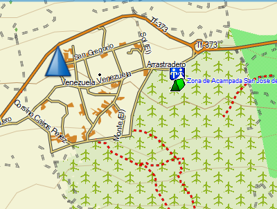
These maps are based on open mapping data prepared by CNIG.. They are highly detailed with every building (and its swimming pool!) watercourses, roads, tracks and woodlands and cultivated areas.. The data is supplemented by tracks and footpaths from Open Street Map togteher with selected points of interest (bars, hotels, campsites, etc). The maps are downloadable immediately after purchase and tthe download contains a .img file that can be copied directly to the device and a GMAP folder that can be used with Garmin's Basecamp software. Insructions are in a 'Readme' file.
The format of the source data is not suitable for making these maps routable but they contains a searchable index of places and addresses.
Try before you buy - download a sample map of El Hierro
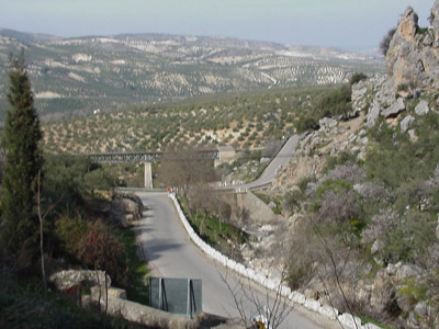
Andalucia
Almeria, Cadiz, Cordoba, Granada, Huelva, Jaen, Malaga and Sevilla
Almeria, Cadiz, Cordoba, Granada, Huelva, Jaen, Malaga and Sevilla
Balearic
Islands
Menorca, Mallorca,
Ibiza and Formentera

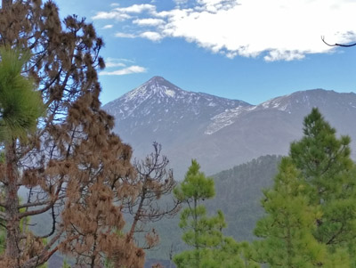
Canary
Islands
Lanzarote, La Graciosa, Fuerteventura, Gran Canaria, Tenerife, La Gomera, La Palma and El Hierro
Lanzarote, La Graciosa, Fuerteventura, Gran Canaria, Tenerife, La Gomera, La Palma and El Hierro
This data has been processed from CNIG and OSM but I cannot be responsible for its accuracy nor how it is used. You should always carry a backup means of navigation.
John
Thorn Lorien CF3 5FX UK john@the-thorns.org.uk