These maps are available on MyTrails as an 'in-app' purchase. They are made by processing OS Opendata maps, OS Landform Contours and selected data from Open Street Map.
This is how :
Start with Ordnance Survey District Raster Mapping
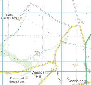
Make the map darker
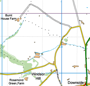
Add contours from the OS Landform Panorama contour data
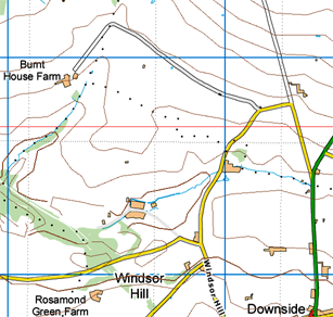
Add footpaths, tracks and abandoned railways from Open Street Map data
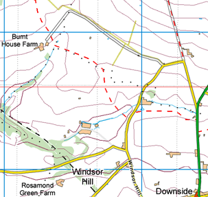
Finally, reproject to Mercator projection and cut into 256x256 pixel 'tiles'.
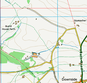
Revised version April 2016 based on updated Ordnance Survey mapping and availability of Rights of Way data from selected Local Authorities. In Scotland, Rights of Way data is not available. Rights of way are shown in green (footpaths dotted, bridle paths dashed) and other paths in red.
No map is perfect! If you think you have found an error then first decide whose error it is. If it is within the District Raster Mapping or contours then contact the Ordnance Survey .
For Open Street Map data - footpaths, tracks and railways then register with Open Street Map and make the changes yourself. It maybe some months before these maps are regenerated to reflect the changes.
The Ordnance Survey maps cover 55 grid squares. Preparation of the Open Street Map for Great Britain data takes about 3 hours then each full square of the District Raster mapping takes about 2.5 hours to process on a 3GHz PC. The result is 782172 map tiles with a total size of 7.4GB. The processing was performed with my program MAPC2MAPC.
"OS Opendata Mapping by JohnThorn : Contains Ordnance Survey data © Crown copyright and Database Right 2010,2015 and Map data © OpenStreetMap contributors, CC-BY-SA; Rights of Way from selected Local Authorities - see www.rowmaps.com"