Great
Britain Rights of Way
Almost all
the designated paths of Britain in the palm of your hand or on your
wrist.
This is a map for Garmin devices - handheld units and watches such as the Fenix 6 - that can load maps.
It is a transparent overlay that can be used with other Garmin maps from Garmin themselves or maps based on Open Street Map.
The map is not routable.
The Rights of Way data is 'open' data from various local authorities. Details for England and Wales are at Rowmaps; for Scotland at CorePaths.
Not all authorities have been willing and able to release data under an Open Licence - Bridgend, Greater London, Cairngorms NP, for example - and in these areas paths from Open Street Map are shown but these - in red - are not necessarily Rights of Way.
Price is £10 payable by Paypal. You will receive a link to a download (about 80MB). Unzip the download and follow the Readme.txt
You are buying a non-exclusive licence to the map - this does not entitle you to copy nor redistribute it.
I do not edit nor create the data and cannot be responsible for loss or injury arising from its use.
Queries ? - Email me.
Although these maps are designed for Garmin units (whose trademarks are acknowledged) they are not endorsed by Garmin.
Contains public sector information from Councils and Ordnance Survey licensed under the Open Government Licence v3.0
© OpenStreetMap contributors under Open Database Licence
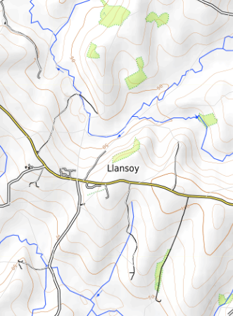
On the map :....
Green Dots : Right of way on foot/Core Path Scotland
Green dashes : Bridleway
Mauve dots : Restricted Byway
Mauve dashes : Byway open to all traffic
Red dots : Footpath from Open Street Map - not necessarily a right of way